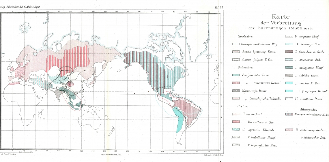
The first recorded global range maps for bears were published by Carl Grevé (1894). These were crude maps, with many errors, but gave a general sense of what was known at the end of the 1800s. The taxonomy at the time was a bit different than today, with 9 full species of bears in what was considered subfamily Ursinae. Grevé’s map shows Ursus ferox (grizzly bear) and U. syriacus (Syrian bear) as distinct species (now both known to be brown bears, U. arctos). At that time, Asiatic black bears were classified as U. torquatus (meaning adorned with collar; now U. thibetanus) and sloth bears as U. labiatus (meaning lip bear; now Melursus ursinus). Sun bears and Andean bears were considered to be in the genus Ursus (now Helarctos and Tremarctos, respectively). Giant pandas were classified as a separate subfamily Ailuropodae, Ailuropus melanoleucus (now Ailurpoda melanoleuca). He also lists a number of “varieties”, signified with a “V.”. The bear map also includes other “bearish” species, including red pandas, binturongs, raccoons, and coatis.

Grevé 1894 map of Ursidae
Erdbrink (1953) created a much improved set of global range maps (including fossils) for “old world” bears (i.e., excluding American black bears and Andean bears, and also excluding giant pandas, which at the time were not considered bears). These maps, with slight modification, still remain as a baseline historic range for these species.
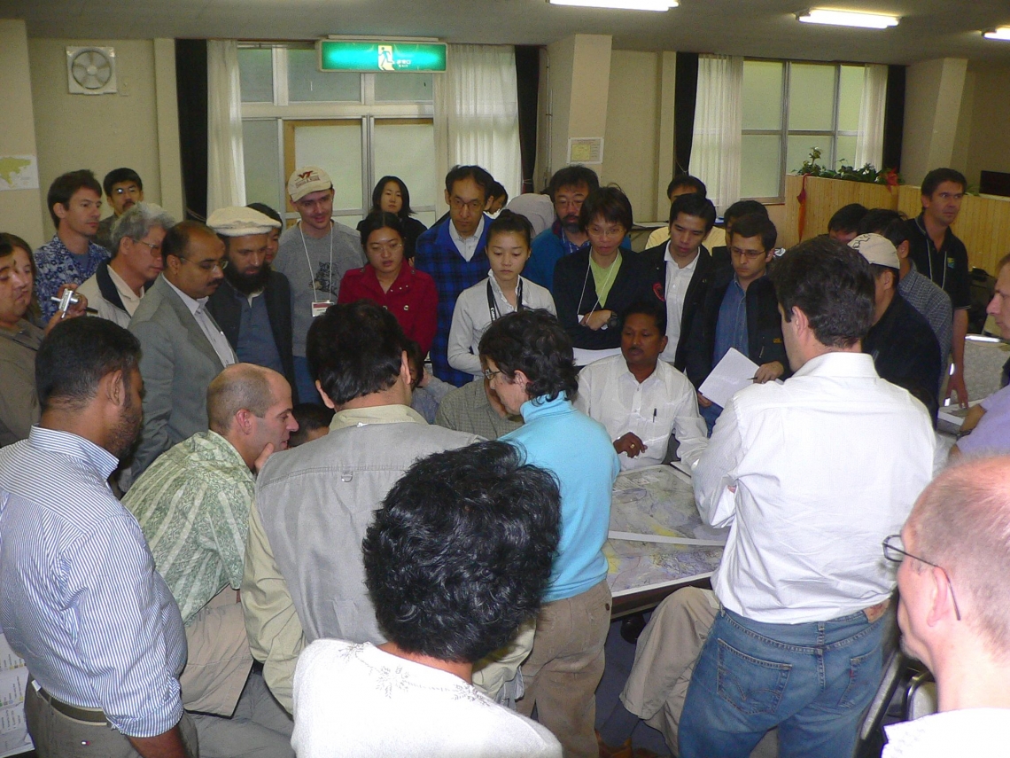
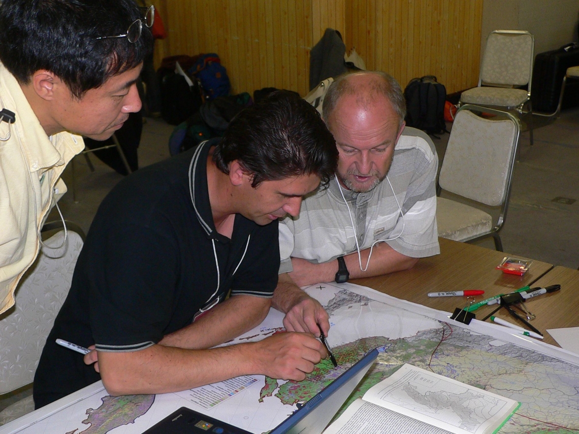
In 2006, the Bear Specialist Group held a special workshop in Japan, bringing in experts from all across Asia, to produce the first modern set of range maps for bears in Asia. These were used for the IUCN Red List accounts in 2008, and highlighted extreme range loss for many of the species.
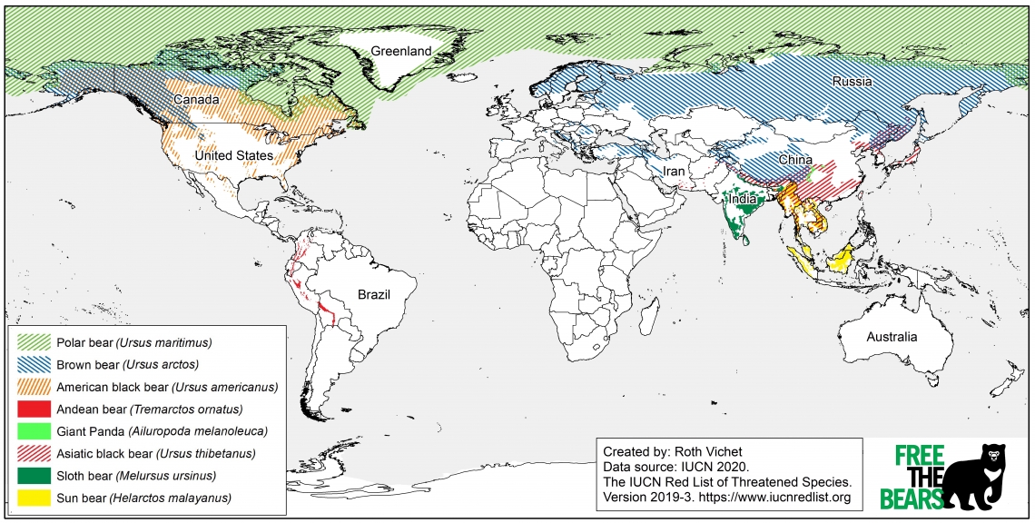
Maps shown on this website were created by the BSG in 2016-17. A new endeavor to create even better maps, with vastly improved metadata is currently underway (expected completion by 2027).

Latest range map of all 8 species of bears, mapped by the Bear Specialist Group, created by Roth Vichet, Free the Bears
Grevé, C. 1894. Die geographische Verbreitung der jetzt lebenden Raubthiere. (“The geographic distribution of the now living beasts of prey”). Halle, druck von E. Blochmann & Sohn in Dresden für die Akademie in Commission bei Wilh. Engelmann in Leipzig. (in German). https://doi.org/10.5962/bhl.title.15374 Erdbrink, D.P. 1953. A review of fossil and recent bears of the Old World: with remarks on their phylogeny, based upon their dentition. Drukkerij Jan de Lange, Deventer, Netherlands (in English).

BSG Asian bear mapping workshop led by Karen Minkowski (blue shirt), Karuizawa Town, Nagano Japan 2006_D Garshelis

Russian BSG members Seryodkin and Aramilev mapping bear ranges at workshop in Nagano Japan 2006_D Garshelis